Archeologists Investigate Mesoamerica’s Epic Ancient Megacities
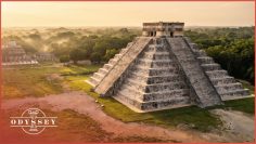
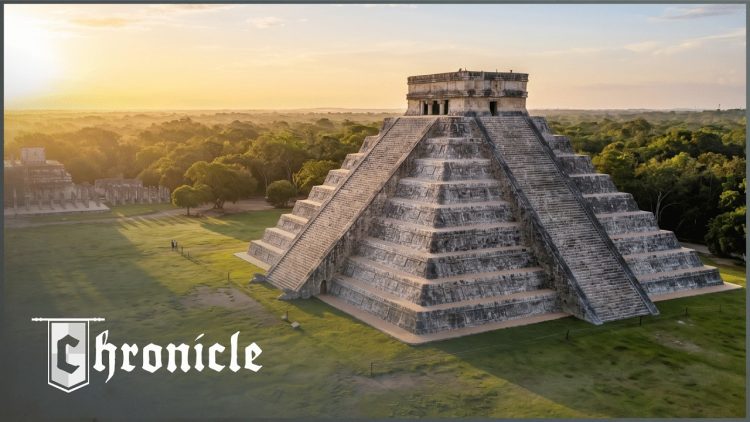
Chichen Itza, Tikal and Teotihuacan were among the largest cities the ancient world ever built. This Chronicle film looks at how they rose — their pyramids, their astronomy, their water systems — and at what brought them down.
Archaeologists use LiDAR scanning and deep underground excavation to map streets and sacred spaces that have been hidden for centuries, and to test the theories about their collapse: war, ritual, human sacrifice, and cities that outgrew what their land and water could support.
Key Themes & Topics Examined
- Chichen Itza, Tikal and Teotihuacan
- Pyramids, astronomy and water systems
- LiDAR and underground excavation
- Governance, religion and resource management
- Why the megacities collapsed
Archival & Investigative Sources
- Archaeological excavation data from Chichen Itza, Tikal, and Teotihuacan.
- LiDAR (Light Detection and Ranging) survey data for mapping ancient urban landscapes.
- Analysis of architectural remains, including pyramids and urban layouts.
- Interpretations of ancient texts and iconography where available.
Recommended Companion Viewing
Explore authoritative investigative documentaries on related historical events and investigative subjects.

Lost Books and the Ancient Mysteries They Would Solve
Frequently Asked Questions
What were the primary urban centers investigated in the documentary?
The documentary primarily examines Chichen Itza, Tikal, and Teotihuacan, which were significant megacities in ancient Mesoamerica.
What technological methods were employed by archaeologists in this investigation?
Archaeologists utilized cutting-edge LiDAR technology for mapping and deep underground excavations to uncover information about these ancient sites.
What aspects of these ancient cities are explored?
The documentary explores aspects such as massive pyramid engineering, complex astronomical alignments, sacred underworld caves, military rule, human sacrifices, and revolutionary hydraulic systems.